Quality and Reliability You Can Depend On
Covering all sectors of the maritime industry, FURUNO’s extensive marine electronics product line gives you exactly what you need out on the sea. All FURUNO products are built to our award winning, commercial grade standards, so you can operate your vessel with complete confidence.
For more then 60 years, FURUNO has established a heritage of innovating, building electronics that more captains depend on, day in day out. From the men and women who make their living on the water, to those who simply enjoy the boating lifestyle, FURUNO is a name that is synonymous with quality electronics that you can rely on.
You will find that FURUNO’s vast line of equipment offers the ultimate performance while providing intuitive operation, making your navigation experience more enjoyable. Add to that an unrivaled, worldwide sales/service network that can assist you in every corner of the globe.
Every product includes two-year factory parts and labor warranty, your assurance of top quality electronics. That’s long term, long lasting value that no other brand can deliver! We supply a wide range of Furuno Products, not all are listed here. If you cannot find the product you are looking for here please contact us and we will endevour to get it for you.
Products
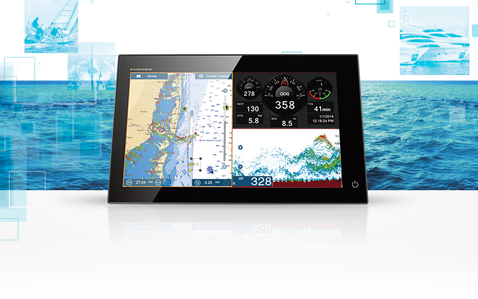
NavNet TZ Touch
The World’s Most Advanced Multi Touch Navigation Interface > Product Details
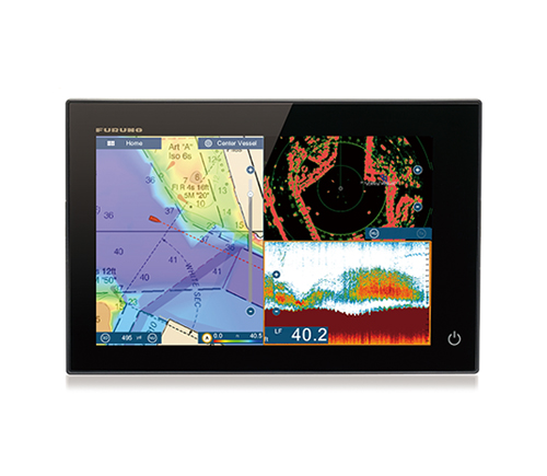
NavNet TZ Touch2
TZtouch2 features a graphical user interface that has been renewed and refined, focusing on usability and ease of operation. > Product Details
Radar
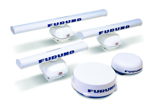
FURUNO’s comprehensive Radar product line accommodates any size and type of vessel >Product Details
GPS/Chart Plotters
Charting your position with pinpoint accuracy: FURUNO GPS Navigators and Chart Plotter guide your voyage >Product Details
Fish Finders
Find the fish others have missed, FURUNO fish finder technology has a model to ideally suit your needs >Product Details
Monitors
For crystal clear presentation turn to FURUNO quality and reliability that you can depend on >Product Details
Compass
Satellite Compasses use advanced GPS Kinematic technology to constantly update heading, heaving, and roll & pitch information >Product Details
NavNet TZ Touch
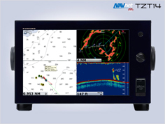
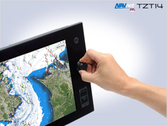
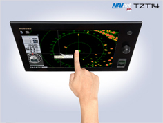
The World’s Most Advanced Multi Touch Navigation Interface
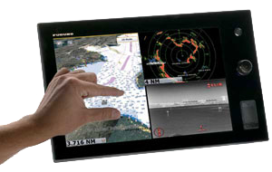
With NavNet TZtouch’s high-sensitivity, touch screen interface, total control is at your fingertips. Navigation is simplfiled by using your fingers to zoom and pan around the chart. As soon as your fingers touch the display, taps, pinches and swipes are instantly transformed into action. You will learn your controls so quickly that you’ll be up and running in no time. To make operation even easier while underway, adjustments such as range and gain are easily made from either the on-screen touch menu or our patented RotoKey™
Remotely View And Control TZtouch With Apps Designed For Your Smartphone And Tablet
Custom apps let you wirelessly view and control TZtouch from any iPhone, iPad, or iPod Touch.
(Other mobile platforms to be supported in the future.)

NavNet Remote App
Take full control of your NavNet in a whole new way. The TZtouch Remote app allows you to operate your system remotely with an iPad* over Wireless LAN, when connected to the network
The weather tool is completely free and easy to use, giving you unlimited access to weather forecasts worldwide 24 hours a day. Select geographic coverage, data type, period of time, and then choose how to receive the file. NavNet TZtouch provides up to 16 days of weather forecasting
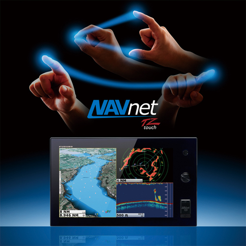
Nothing Is Faster Than TimeZeroTM
NavNet TZtouch’s TimeZero™ technology delivers chart processing like you’ve never seen before, seamless chart handling, zooming and panning without the screen disappearing. TimeZero™ technology redefines the meaning of stress-free operation by smoothing out your chart handling actions
The Only Acceptable Wait Time is Zero: TimeZero TM Technology Changes Your Perspective on Chart Redraw
Equipped with powerful TimeZero™ technology, NavNet TZtouch will completely transform the way you navigate. You can scroll, pan, zoom in/out with a smooth, fast and seamless graphics engine. Navigating in a fully 3D environment offers you a true perspective and wider area of view around the ship, which allows you to better plan your routes, while TimeZero technology updates the information on your screen with virtually no redraw.
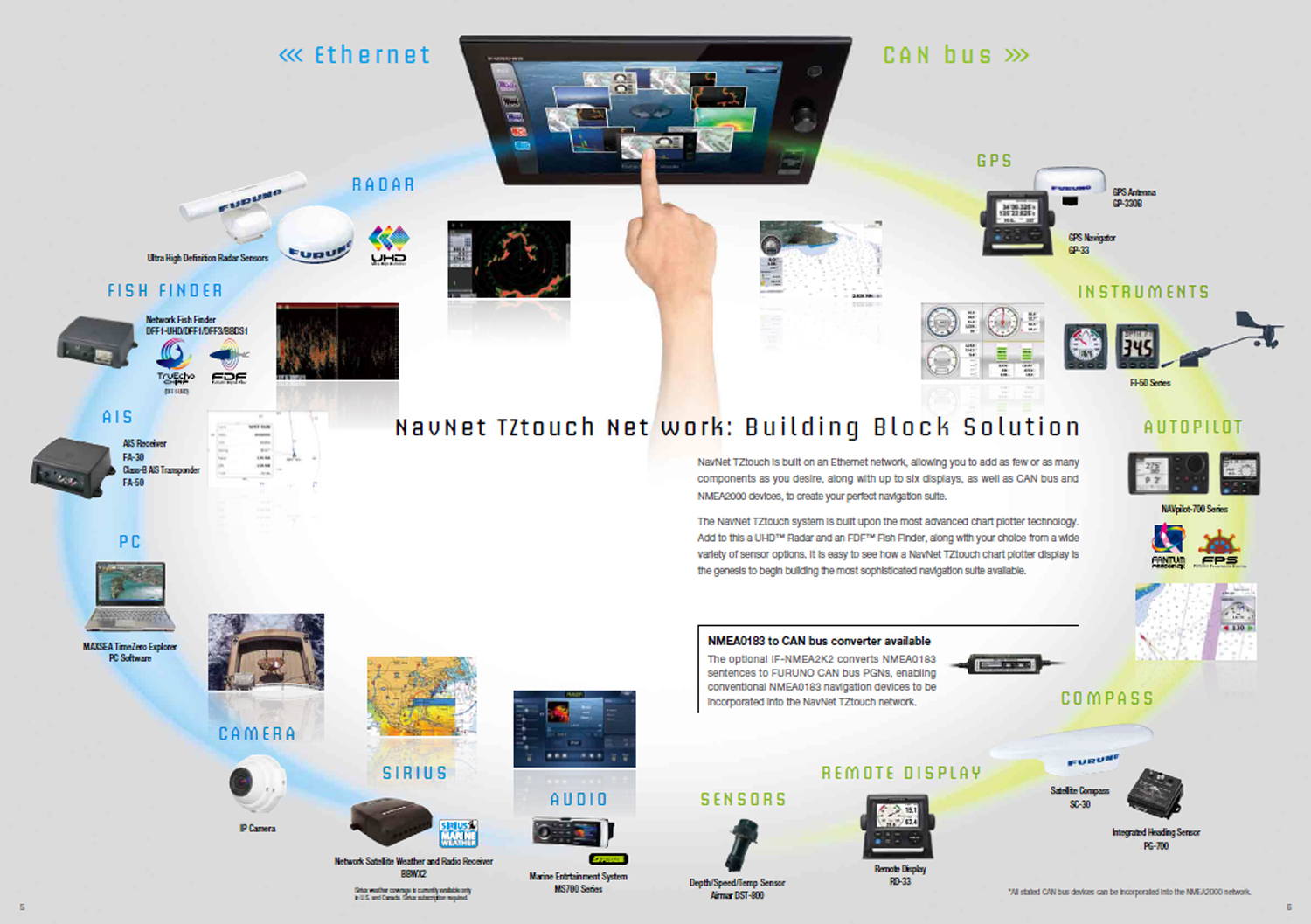
NavNet TZtouch Network: Building Block Solution
NavNet TZtouch is built on an Ethernet network, allowing you to add as few or as many components as you desire, along with up to six displays, as well as CAN bus and NMEA2000 devices, to create your perfect navigation suite. The NavNet TZtouch system is built upon the most advanced chart plotter technology. Add to this a UHD™ Radar and an FDF™ Fish Finder, along with your choice from a wide variety of sensor options. It is easy to see how a NavNet TZtouch chart plotter display is the genesis to building the most sophisticated navigation suite available.
NavNet TZ Touch2
A next great step for FURUNO is a 56-channel GPS Receiver built right into the display. You can still connect an external antenna for redundancy, but the primary GPS receiver is built-in, saving you money on additional equipment and installation cost. Amazingly, they took it a step further by including their award-winning Fish Finder technology into every TZtouch2 display. The built-in Fish Finder is a dual-frequency (50/200kHz), 600W/1kW power output sounder. It includes FURUNO’s unique Bottom Discrimination and ACCU-FISH™ modes, but it also incorporates another new Furuno proprietary Fish Finder technology, called RezBoost™. RezBoost™ is a revolutionary new feature that utilizes FURUNO’s exclusive digital signal processing protocol to produce fantastic target resolution and separation, without the need to change out your transducer, or purchase expensive broadband transducers. With RezBoost™, you can now achieve target separation and resolution that was previously limited to FURUNO commercial-grade Fish Finders.
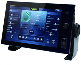
NavNet TZtouch2 is a component-based system that utilizes FURUNO’s award winning network products. You can choose from a 12.1-inch WXGA or 15.6-inch FWXGA multi touch display that utilize raster and vector charts in MapMedia format based on Jeppesen, Navionics and NOAA data. From there, you can add a variety of UHD Radars, from their 2.2kW Dome to a 25kW Open Array. For smaller vessels FURUNO has added a new 19-inch, 4kW Radar Dome, called the DRS4DL to their lineup. As with NavNet TZtouch, you can integrate, display, and control the NavPilot Autopilot. You can also share settings with FURUNO’s new FI-70 Instrument. Both of these products have displays that match TZtouch2, giving your helm a beautiful all-glass finish. Additional sensors that can be added to the network include AIS, Weather Fax, Sirius/XM Satellite Weather, Fusion Marine Stereo, Cameras, as well as NMEA2000 and FURUNO CAN bus devices. It even includes one NMEA0183 output port to send data to legacy systems.
Whether choosing equipment for a new boat build, or looking to retrofit and existing helm, NavNet TZtouch2 is the perfect solution for you. With its easy to use interface, built-in GPS and RezBoost™ Fish Finder, and an easy retrofit path from existing NavNet 3D or TZtouch systems, NavNet TZtouch2 is the perfect way to get the latest technology at the perfect price.
Compass
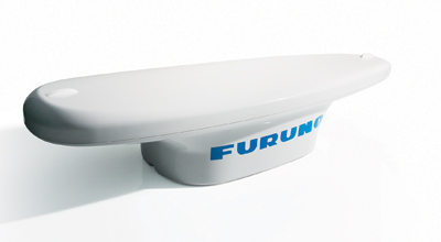
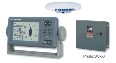
Our SC-30/50/110 Satellite Compasses use advanced GPS Kinematic technology to constantly update heading, heaving, and roll & pitch information. Unlike conventional magnetic and gyro compasses, accuracy is not affected by G-force or velocity. They are also free from routine maintenance because there are no moving parts.
- Combine with Radar and Chart Plotter for spot-on Radar overlay
- Combine with Radar for constant ARPA tracking and stable echo trails
- Combine with Sonar and Fish Finder for stable echo images and accurate ship’s tracki information
- Combine with Navpilot for precise autopilot controls
Tru Motion Echo Trails
Tru Motion Echo Trails are available when the satellite compass is connected to your FURUNO radar.
Tru echo trails are helpfull for determining own ships movement as well as the movement of other vessels. Heading accuracy and sensing speed ensures that trails are displayed in smooth lines.
Heaving Compensation
The satellite compass provides compensation data to your Fish Finder to present a display free from undulations due to vessel’s heaving in rough seas.
Pitch and Roll Compensation
Pitch and Roll Compensation data allows FURUNO sonar systems to display an unwavering presentation on the screen and facilitates stable detection, even in foul weather conditions.
SC-30
SC-50
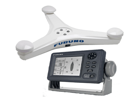
SC-110
Fish Finders
Find the fish others have missed, whether you are a recreational or serious sports fisherman, FURUNO fish finder technology has a model to ideally suit your needs. Their research and developement team has spent extensive on-the-water hours coming up in the most innovative and useful features to ever be introduced.
Whether you are recreational or serious sports fisherman, FURUNO fish finder technology has a model to ideally suit your needs. FURUNO technology will help you find fish and save time. So don’t be a follower, be a leader with a new FURUNO fish finder!
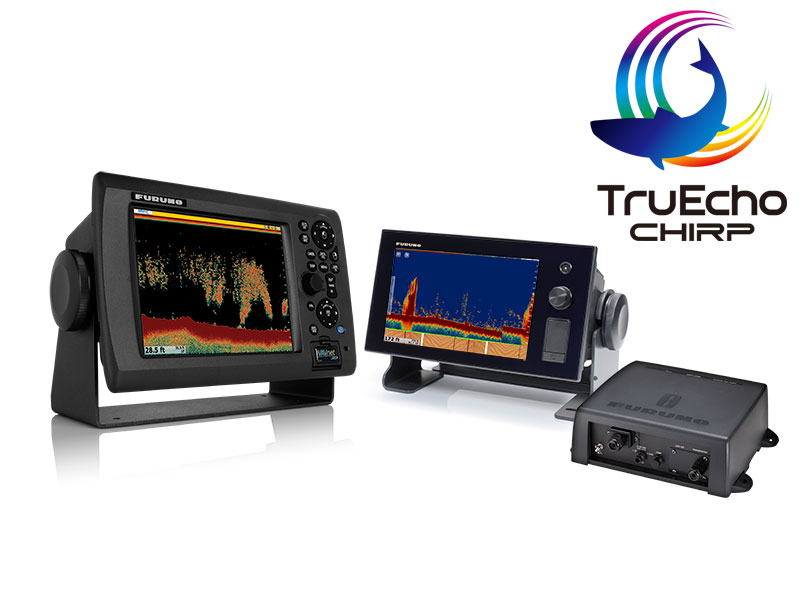

• Furuno’s TruEcho CHIRP Fish Finder is based on completely new technology utilizing broadband CHIRP transducers. The sound energy transmitted by the DFF1-UHD into the water is up to 1,000 times greater than a conventional Fish Finder, resulting in more energy on the target. Utilizing our Furuno Digital Filter (FDF) signal processing results in up to 5x greater resolution and depth capability than comparably powered standard Fish Finders. Furuno is evolving CHIRP technology to the next level by adding unique capabilities, such as Bottom Discrimination and Accu-Fish.
• Bottom Discrimination provides detailed graphical information about the make-up of the sea floor. This is accomplished by placing the bottom into one of four classifications; Rocks, Gravel, Sand, and Mud. Knowing the make-up of the bottom provides valuable information that will help you locate rich fishing grounds, potential hazards, and even good anchoring spots. The bottom details are shown on the screen in either a graphical representation or probability graph.
• Accu-Fish is a revolutionary fish size assessment function that can tell you the approximate size of the fish below your boat. Fish symbols appear on the screen, along with the size of the fish or the depth where it found the fish. It can detect fish size from 4 inches up to about 6 feet long, in depths of 7 feet to well over 300 feet of water.
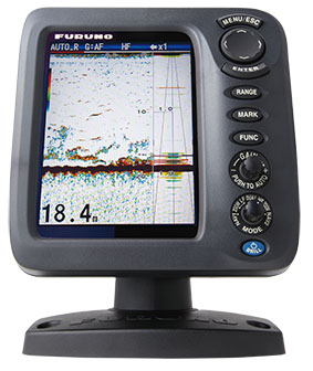
FCV-628
5.7″ Colour LCD Fish Finder
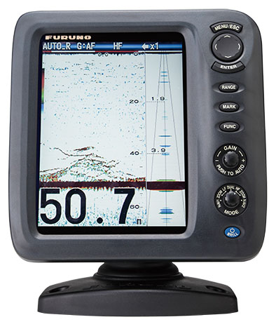
FCV-588
8.4″ Colour LCD Fish Finder
FCV-1150
12.1″ Colour LCD Sounder
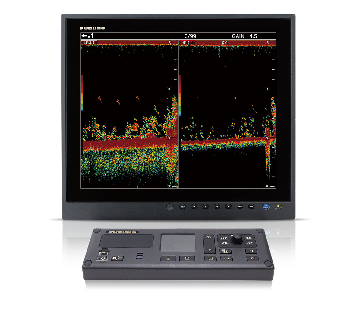
FCV-1900
Fish Finder
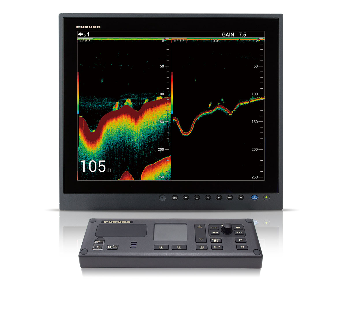
FCV-1900B
Hi-Res TruEcho Chirp Fish Finder
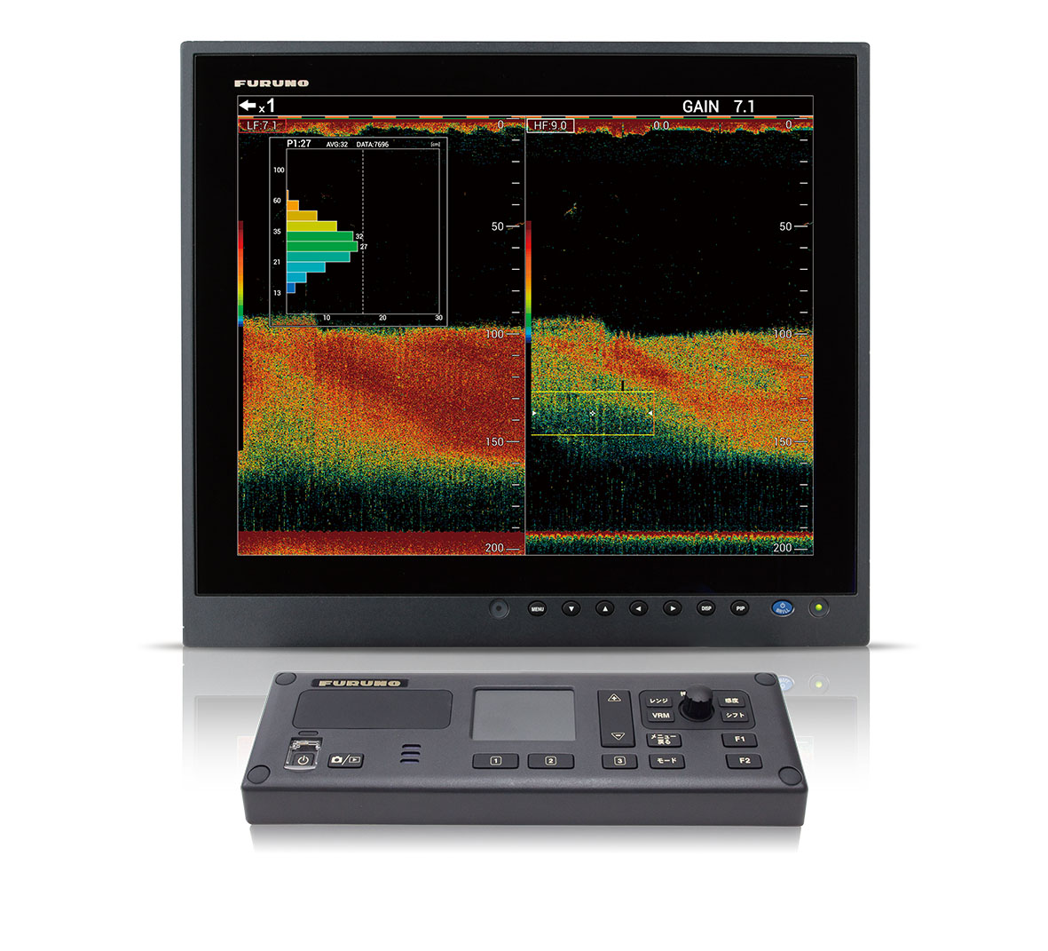
FCV-1900G
TruEcho Chirp With unique Fish Size Indicator
FCV-295
10.4″ Colour LCD Sounder
Monitors
With the introduction of a variety of black box products, marine monitors are becoming more of a necessity then a luxury. For crystal clear presentation for your Radar, Chart Plotter, NavNet or other electronics turn to the unmatched FURUNO quality and relability that you can depend on.
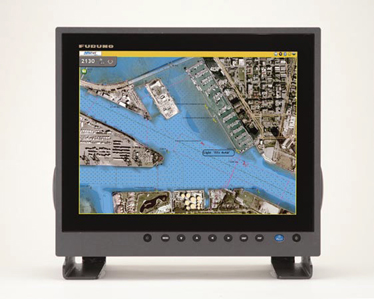
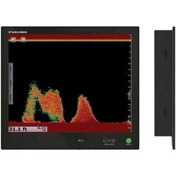
MU-150HD/MU-190HD Marine Display
Options that include: 1 RGB analog, 2 DVI (Digital Video Interface) and 3 NTSC/PAL video inputs. These displays may be used as either the main or remote display for a variety of marine equipment such as BlackBox Radar, Sounder, Sonar and NavNet series.
They can also be used for displaying images from security cameras, DVD player, computers, etc.The screen resolutions of the MU-150HD/190HD is: XGA (1024 x 768) and SXGA (1280 x 1024), respectively.
The MU-150HD/190HD features a built-in scaler, which enables high resolutions up to SXGA (1280 x 1024). These units feature a wide range of interfaceThe FURUNO MU-150HD/190HD is a multi-purpose marine LCD that features the unmatched quality and reliability that you have learned to depend on.
The MU-150HD/190HD employs 1,000 cd/m2 extremely bright color TFT
LCDs with a special AR (anti-reflective) glass filter to cut down on annoying glare. With its bright colors, excellent contrast and wide viewing angles, the monitor is perfect for any tropical sunlight or low light conditions. Furthermore, the LCDs and the glass are bonded to ensure fog free operation on open fly-bridge installations.
RD-33 Remote Display
The RD-33 is a navigational data organizer that allows the operator to select the perfect way to display data from interfaced equipment such as GPS, chartplotter, radar, fish finder, autopilot, instruments and other sensors including engine information.
The high contrast, color 4.3″ LCD may be installed in a compact space, remote from its sources. The screen is impressively bright, remarkably crisp and easy to read.
Various display modes are available including Speedometer, Highway and Text. The text mode presents up to six of the most necessary types of data. The display layout can be customized for your specific needs. This versatile product can also be added to a NavNet 3D system, displaying a variety of navigation data from the CAN bus network.
The RD-33 accepts a wide variety of navigation data and displays them in numerical and graphic formats. You may freely select and arrange which data is displayed on the screen. Furthermore, seven patterns of customized display settings can be stored in the memory to give speedy access and convenience while onboard.
You can customize the view to display the information in the format that works best for you. The RD-33 allows you to split the screen in up to six separate segments and provides graphical or numerical representations of environmental sign changes to facilitate navigation.
Radar
Thirty-four consecutive years of being awarded “Best Radar” FURUNO is the benchmark in Radar technology. The name FURUNO is synonymous with Radar on your boat, everyone in the harbor knows that you demand only the best for your vessel.
FURUNO’s comprehensive Radar product line accommodates any size and type of vessel: compact LCD Radar for a small sailing yacht, high-end LCD Radar for massive tankers and everything in between.
Every FURUNO Radar is made with commercial grade components, so you can rest assured that your Radar will withstand anything that Mother Nature can dish out. With their superb target detection, you can bet that our Radar can see through anything she throws at it as well.
NavNet TZtouch Radar
NavNet TZtouch’s Ultra High Definition (UHD™) Digital Radar technology sets a new standard in marine radar. With a highly advanced digital sensor and signal processing technologies, UHD™ Digital Radar greatly enhances situational awareness. Inhanced detection both in long and short range by Digital Radar Sensor
- Seamless zoom in/out of radar range scales
- Enhanced auto tuning, auto gain and anti-clutter controls
- 48 rpm antenna rotation speed available
- Adaptive antenna rotation speed according to pulse length
- Accurate radar overlay on both 2D/3D chart presentation with aid from heading sensors
- True echo trail shows afterglow of moving radar targets
- Radar Guard Zone and Watchman features alert you to potential danger
- Dual VRM (Variable Range Marker) and dual EBL (Electric Bearing Line)
- Off-centre display capability allows you to focus on specific direction with a simple touch of the screen
- Automatic IP address assignment for true Plug and Play installation

Ultra High Definition (UHD) Digital Radar
FURUNO has taken its NMEA award winning radar technology to the next level with Ultra High Definition Digital Radar. UHD™ offers crystal clear, target presentation with automatic realtime digital signal processing. Antenna rotation speed (24/36/48rpm) is automatically shifted to the appropriate pulse length. Commercial grade radar performance is now available in the ultimate MFD navigation suite.
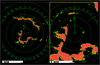
Real-time Dual Range Radar presentation with Dual Progressive Scan
NavNet TZtouch’s simultaneous scanning technology allows dual progressive scan to display and update two radar pictures, both long and short range, at the same time as opposed to alternate update methods of typical conventional dual range radar. Autonomous control over gain and anticlutter can be performed on each radar presentation. This can be used to have one screen with the gain set to locate birds and buoys, while you use the other radar screen to navigate.
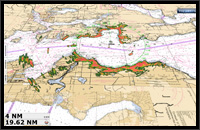
Radar-Chart overlay
A Radar image of spot on accuracy can be overlaid onto a chart screen. Not only is it done with the conventional 2D chart format, but also it can be projected onto a 3D chart presentation. Radar range scales in the radar chart overlay entirely depend on the range scales in the chart presentation, allowing you to view the radar image on the chart information in whatever magnification level you desire. (An appropriate heading sensor is required.)
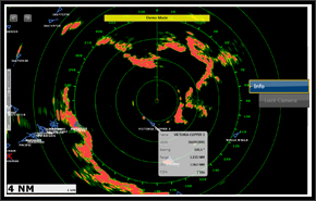
Target Tracking/AIS
Automatic radar plotting utility is one of the standard features of the NavNet TZtouch radar. Up to 30 targets can be simultaneously acquired and tracked for heading and speed. AIS target tracking is accomplished when interfaced with a FA-30/50 AIS unit.
Real-Time Digital Auto Gain/Sea Controls
NavNet TZtouch employs revolutionary real-time digital auto Gain/Sea controls to deliver a crystal clear radar presentation. With this new technology, NavNet TZtouch computes and applies an adaptive omni-directional anti-clutter filter with variable intensity depending on bearing.
Antenna Units
Compact and stylish radomes or open array antennas, whats the difference?
Its a question of range, target sensivity and space. In general, the larger the antenna, the narrower the horizontal the beamwidth, resulting in greater range and better target discrimination. The radomes require modest mounting space, while still giving you range scales of 18 to 36nm. The open array antennas pack more power and resolution and give you range scales from 16 to 96 nm.
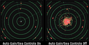
Chart Plotters
Charting your position with pinpoint accuracy: FURUNO GPS Navigators and Chart Plotter guide your voyage. With the aid of GPS, you can quickly and accurately view where you have been and where you are going. Know your position, course and speed at a glance, along with other critical navigation data in bothy graphic and alphanumeric formats.
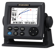
GP-33
Compact in size, yet big on features and performance, the FURUNO GP33 is the perfect GPS navigator for a wide range of vessels. This advanced unit provides accurate and reliable position fixing, thanks to a super sensitive, 12-channel GPS receiver combined with integrated WAAS technology.
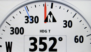
The GP33 displays navigation data in a wide variety of numerical and graphical formats. You may freely select which data you want displayed with easy to use controls. The combination of a high resolution screen and large data fields makes the screen easy to read in almost any condition.
The GP33 has a waterproof display and is built to stand up to tough marine conditions. The durable casing houses an impressive memory, capable of storing up to 3,000 points of ship’s track, 10,000 points for marks and waypoints, and 100 routes of up to 30 waypoints each. Vital navigation data is presented on a 4.3″ color LCD.
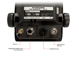
The GP33 features FURUNO’s CAN bus interface system for feeding highly accurate navigation data to your NavNet 3D, radar, chart plotter, autopilot, fish finder or other navigation equipment. CAN bus is a communication protocol that shares multiple data and signals through a single backbone cable. You can simply connect any CAN bus devices onto the backbone cable to expand your network onboard. With CAN bus, IDs are assigned to all the devices, and the status of each sensor in the network can be detected. All the CAN bus devices can be incorporated into the NMEA2000 network, offering easy plug-and-play installation. NMEA0183 protocol versions are also supported.
GP-1870/F
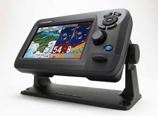
Bright 900 cd/m2 LCD gives excellent readability even in direct sunlight
The LCD and AR glass are bonded together to ensure no fogging issuesCat GP1870 Series N-873A
Clear visibility even when wearing polarized sunglasses
Internal GPS antenna for simple and easy installation
Standard C-Map 4D chart available on SD card
RotoKeyTM revolving menu and familiar point-and-click operation
Internal memory: Waypoint/Track 30,000 points, Route 1,000 routes
Equipped with FURUNO’s latest digital fish finder technology
Bottom Discrimination Function* * Thru-hull transom transducer mount required.
ACCU-FISHTM — A unique fish size analyzer
Post-processing Gain Control applied to all echoes displayed on the screenCat GP1870 image
White Line function — Discriminates fish lying near the bottom
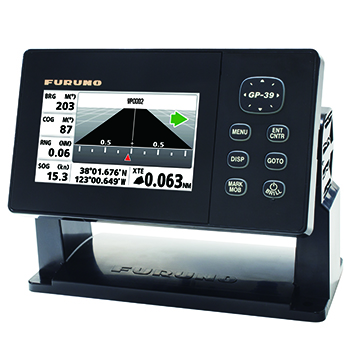
GP-39
4.2″ GPS Navigator Model
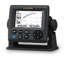
GP-33
4.3″ GPS Navigator Model
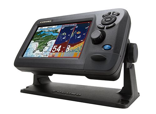
GP-1870F
7″ Colour LCD GPS/WAAS Plotter Fish Finder
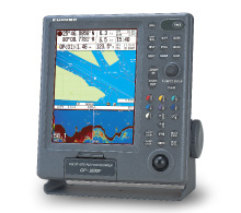
GP-3500F
10.4″ GPS/DGPS/WAAS Chart Plotter & Fish Finder
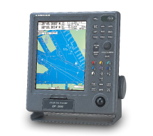
GP-3500
10.4″ GPS/DGPS/WAAS Chart plotter

